Digital Portfolio


Community Archives

VSL Logo

VSL Logo

Visual and Sonic Landscapes of Muslims in Los Angeles

Working in a collaboration between the Office of Advanced Research Computing and the Fowler Museum, I am the web developer and data designer / modeler for Visual and Sonic Landscapes of Muslims in Los Angeles, “…an effort to create a public space for self-representation and self-definition for Muslim Angelenos by Muslim Angelenos. A focus on community voices and ritual, music, murals, and other artworks as primary source materials defines this project.”

BLT Logo

BLT Logo

The Black Lunch Table

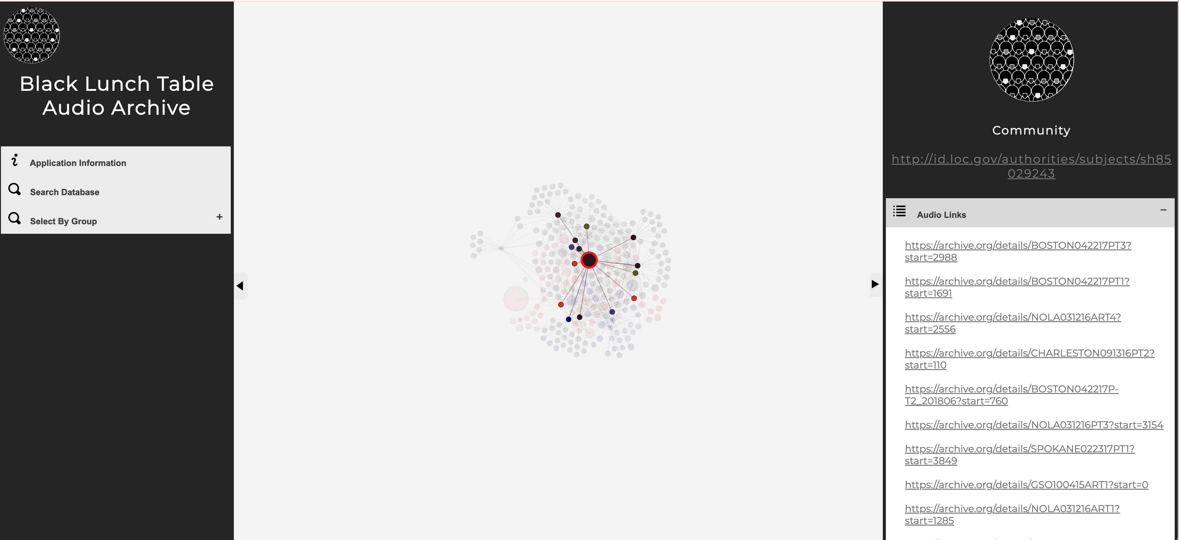
This is an interdisciplinary project that studies cultural production and critical dialogue on racial issues. Started as a collaboration between UNC professors and working artists, Black Lunch Table brings together groups of African-American artists, academics, and activists throughout the United States. These groups have set dialogue topics, and the ensuing conversation is electronically archived and will be presented on an open access website. I led the design and development of new digital humanities methodologies and software for the project, including a combination of social network analysis and natural language processing to create innovative interfaces to catalog, search, and visualize the Black Lunch Table audio archives.

Digital Archives

Sinai Manuscripts Digital Library Splash

Sinai Manuscripts Digital Library Splash

Sinai Manuscripts Digital Library

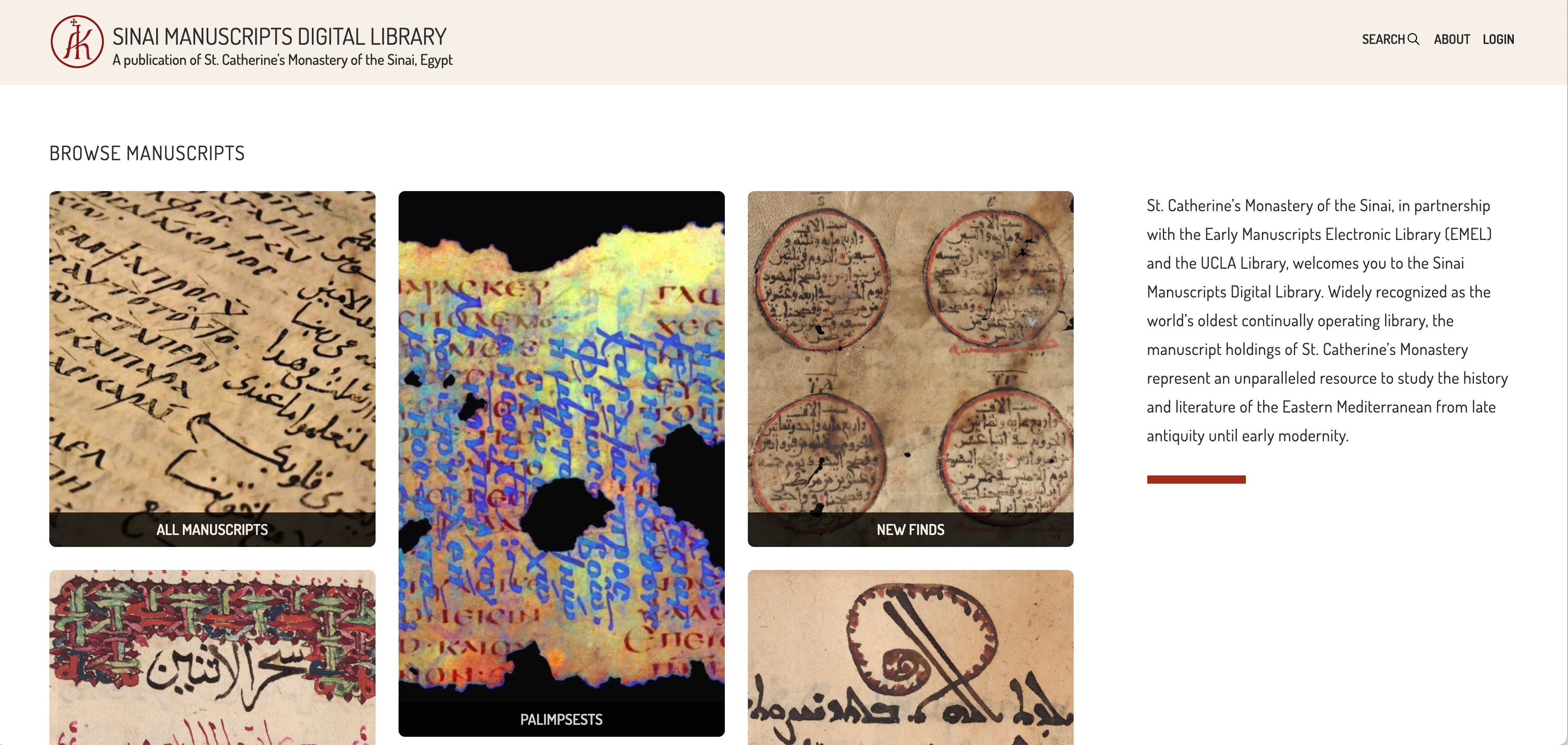
Working in a collaboration with UCLA, an international team, and St. Catherine’s Monastery of the Sinai, I was the Data and Workflows Manager for The Sinai Manuscripts Digital Library, an online application that hosts “…the results of the Sinai Library Digitization Project, a ten-year collaborative effort to digitize the unparalleled manuscript library of St. Catherine’s Monastery.”

AI

PATHS

PATHS

PATHS

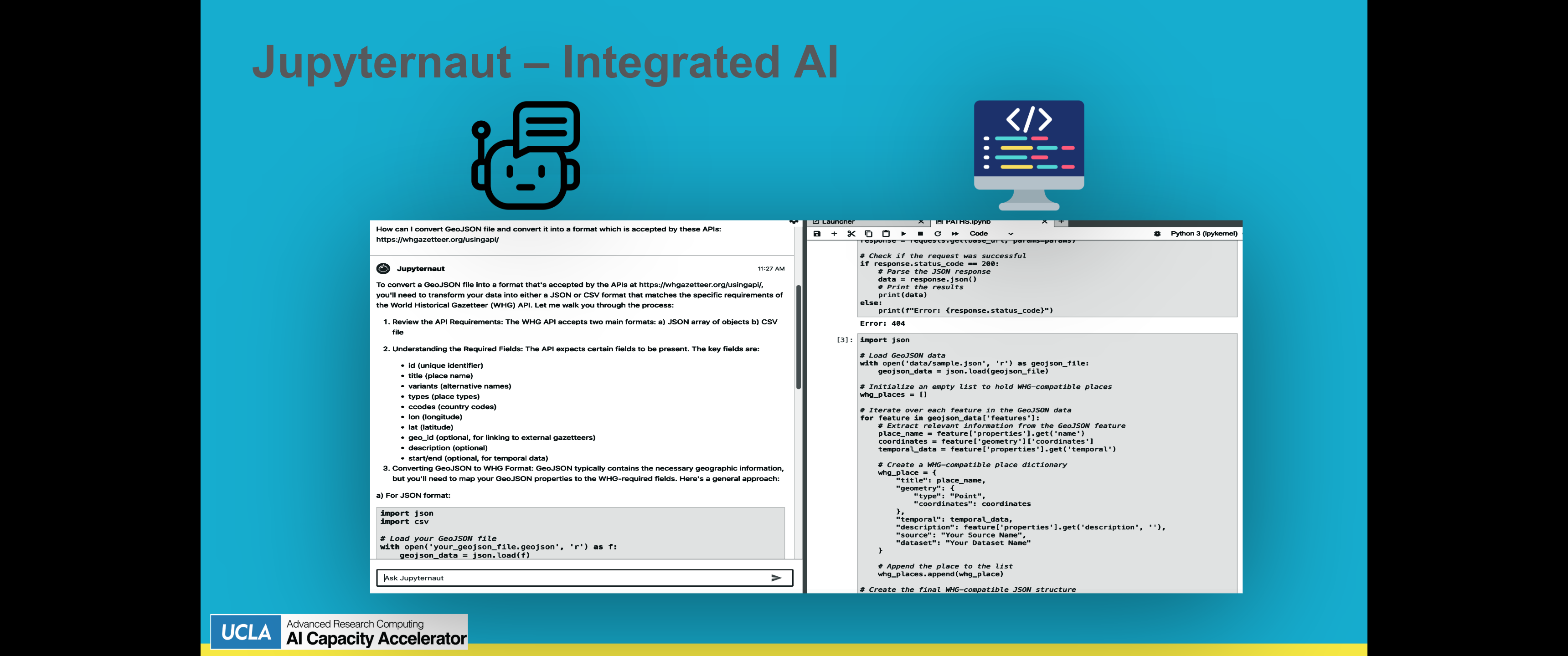
I am the team lead on PATHS (Potential AI feaTure uneartHer System), part of the OARC AI Accelerator program. PATHS combines ESRI’s Deep Learning Feature Extraction & Classification models, Claude Sonnet’s generative AI software, and UCLA’s Hoffman2 High-performance cluster to facilitate GIS and Linked Open Data research. We created a Jupyter-notebooks based environment for automatically detecting buildings in images and creating geojson features from the results, consuming API documentation on the web to create Linked Open Data connections between the geojson and geospatial gazetteers, and then publishing the results to the web.

Manuscripts

Yellow River Cover

Yellow River Cover

Yellow River: A Natural and Unnatural History

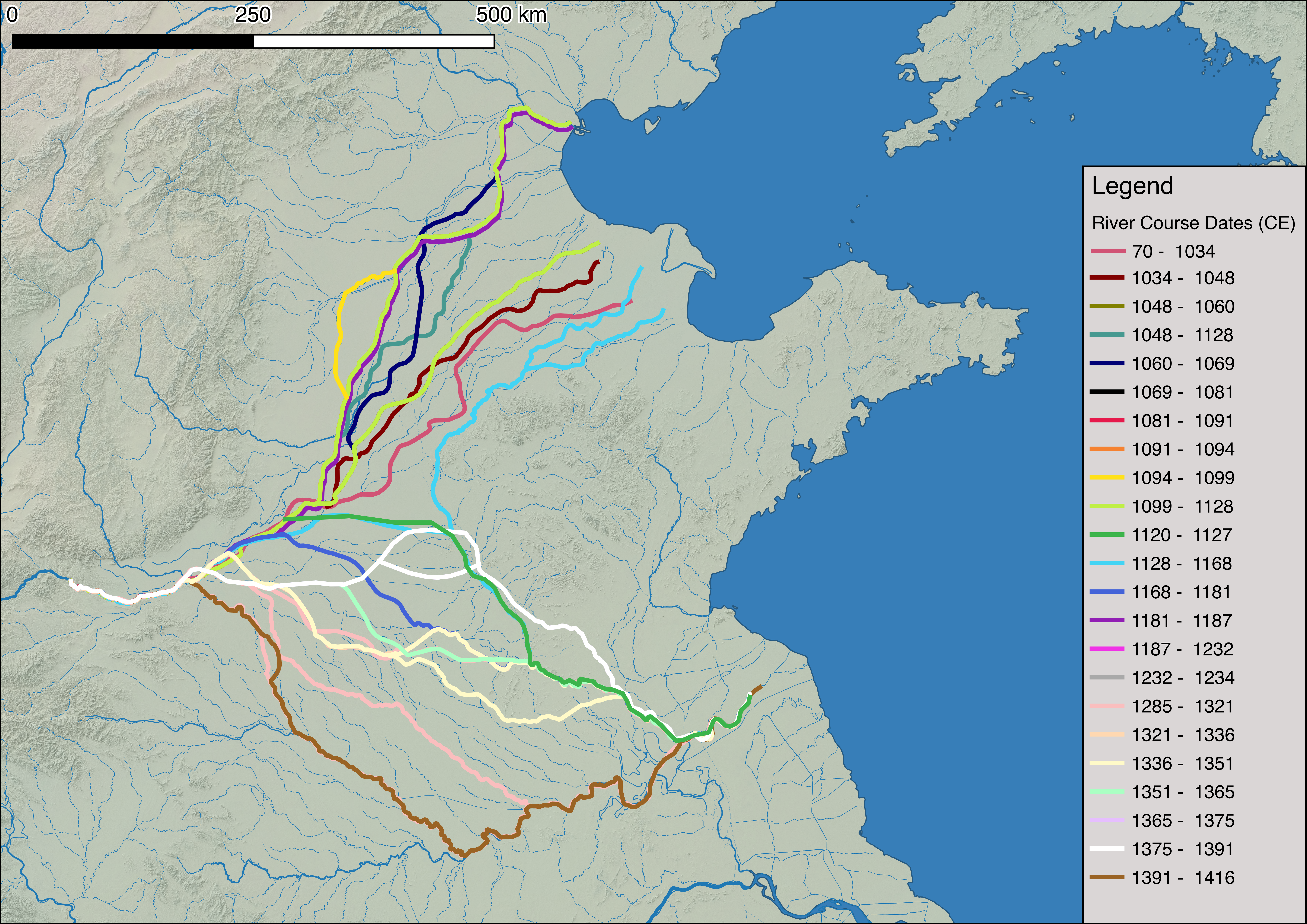
I created the information system, database, info graphics, and maps used by Ruth Mostern for her Joseph Levenson Prize winning book Yellow River: A Natural and Unnatural History (2021). The information system is a series of Jupyter notebooks that tied together materials from decades of her research, allowing for the creation of interactive data queries, standardized data visualizations, and further source exploration.

Digital Gazetteers

Pleiades Project Image

The Pleiades Project

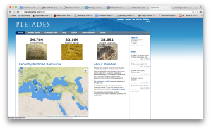
I am an editor for the Pleiades Project, a gazetteer and graph offering authoritative data on over 36,000 sites in the ancient world. In addition to my content and editorial contributions, I have been working extensively on applying network analysis to the data set, creating new cartographic approaches to mapping place data, dealing with uncertainty, and creating new methods for exploring and representing the connectivity between places.

World Historical Gazetteer Image

World Historical Gazetteer Image

World Historical Gazetteer

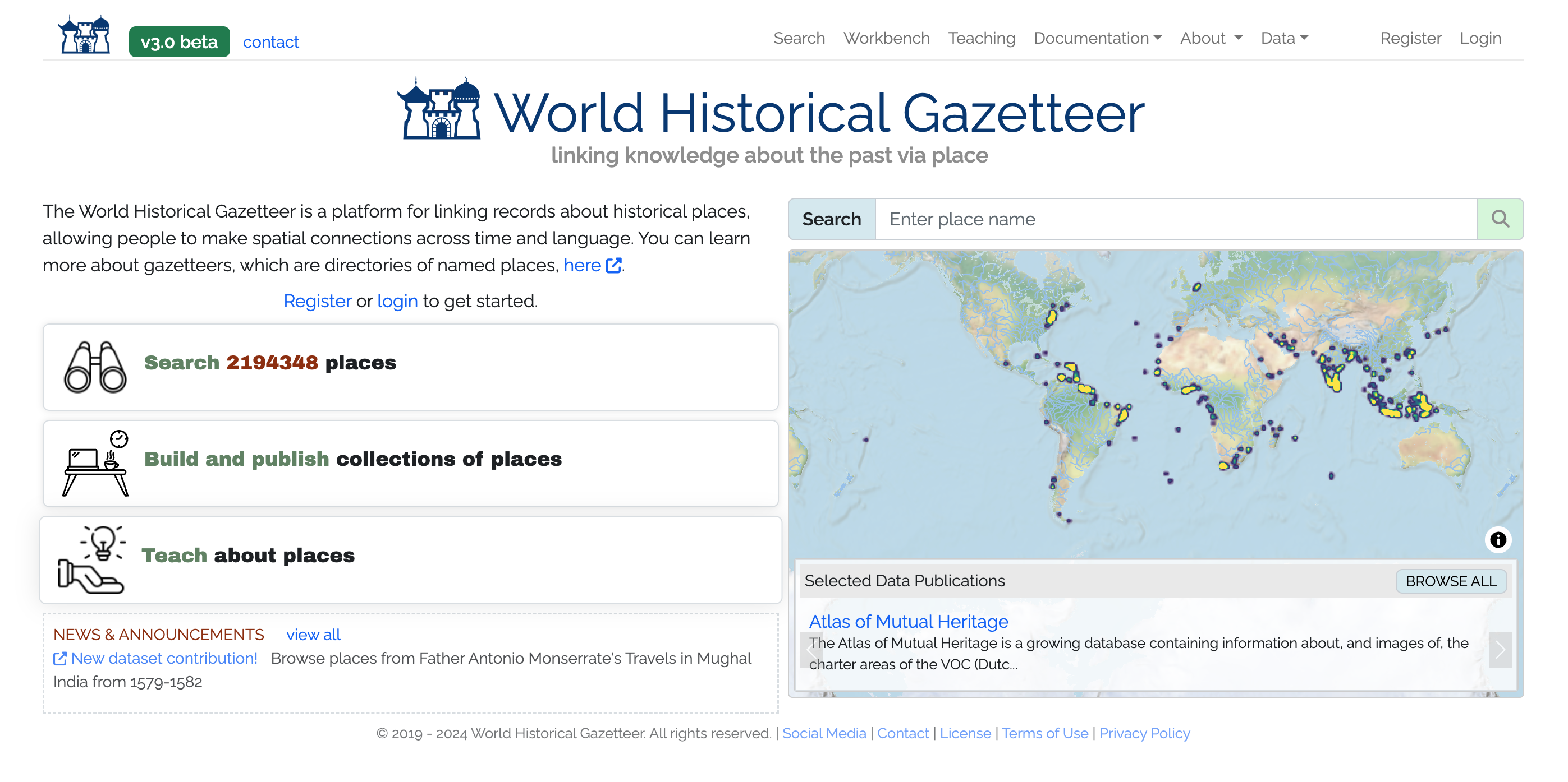
As a post-doc researcher I was part of the team that did initial planning, design, and development for the NEH winning World Historical Gazetteer, “…a platform for linking records about historical places, allowing people to make spatial connections across time and language.” With over 2 million place records, the WHG is one of the premier sources for historical place names and spatial information.

BAM Project Image

BAM Project Image

Big Ancient Mediterranean (BAM)

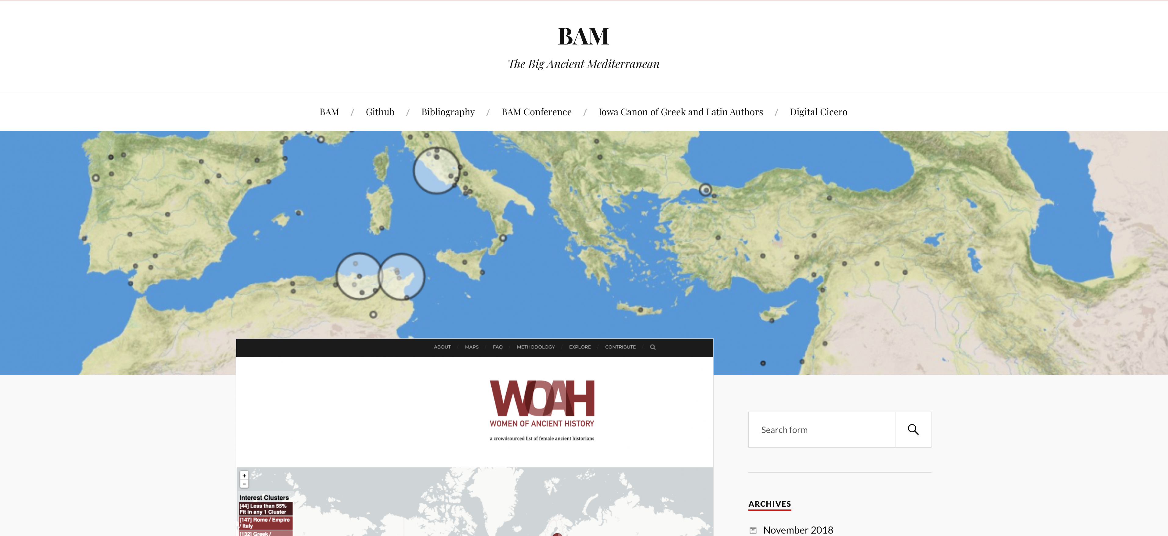
BAM is an open-access project that integrates GIS tools, network analysis, and textual annotation/data mining capabilities in order to allow the exploration and visualization of ancient texts in new ways. BAM provides a modular framework which can be utilized by any number of different projects, and I have used the codebase to construct projects covering subjects ranging from the ancient world to today. I am also using BAM to explore methods to visualize and display data that is a mix of locatable and non-locatable entities. You can download the code here: https://github.com/Big-Ancient-Mediterranean/BAM.

Network Analysis

Knowledge Networks Image

UNC Knowledge Networks

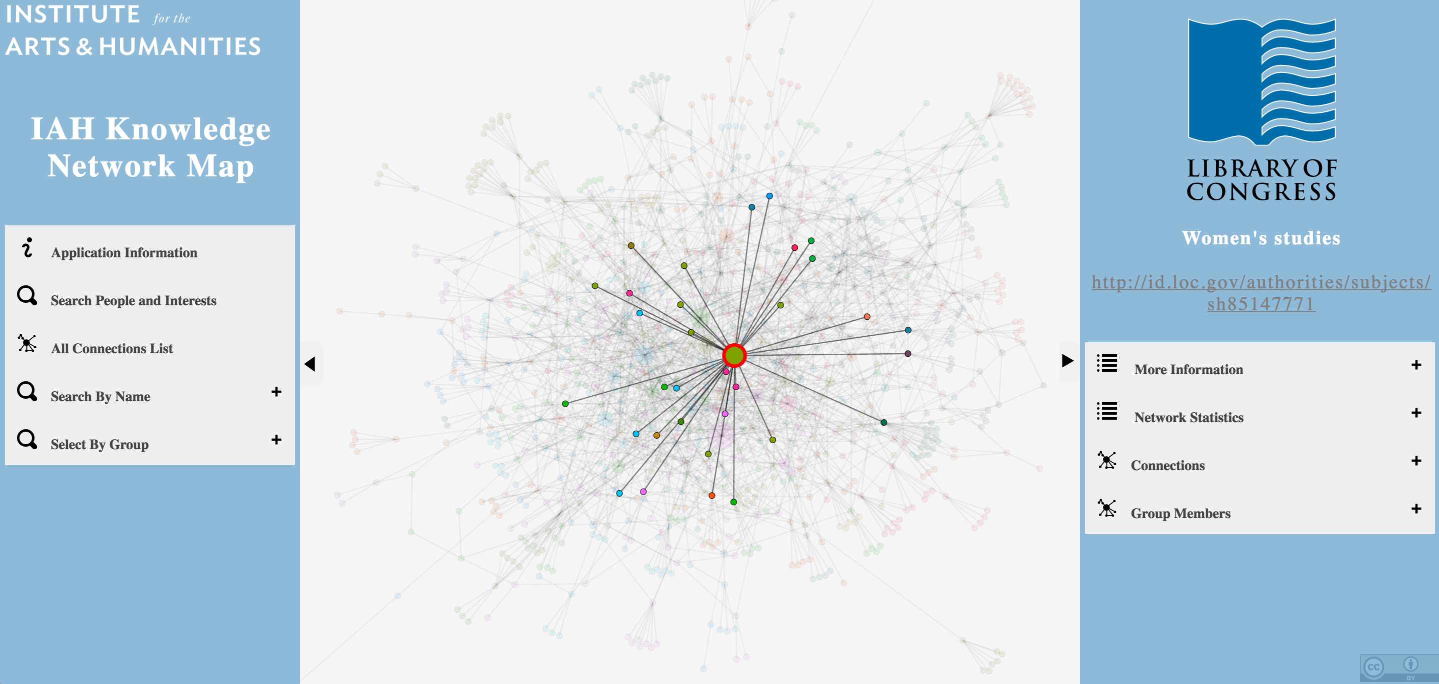
This project, developed for the Institute for the Arts and Humanities at UNC Chapel Hill, identified previously unknown communities of common research interests at the university. It uses Library of Congress Subject Headings to categorize common faculty research interests, and deployed the Louvain method for community detection.

WAH Image

Women of Ancient History

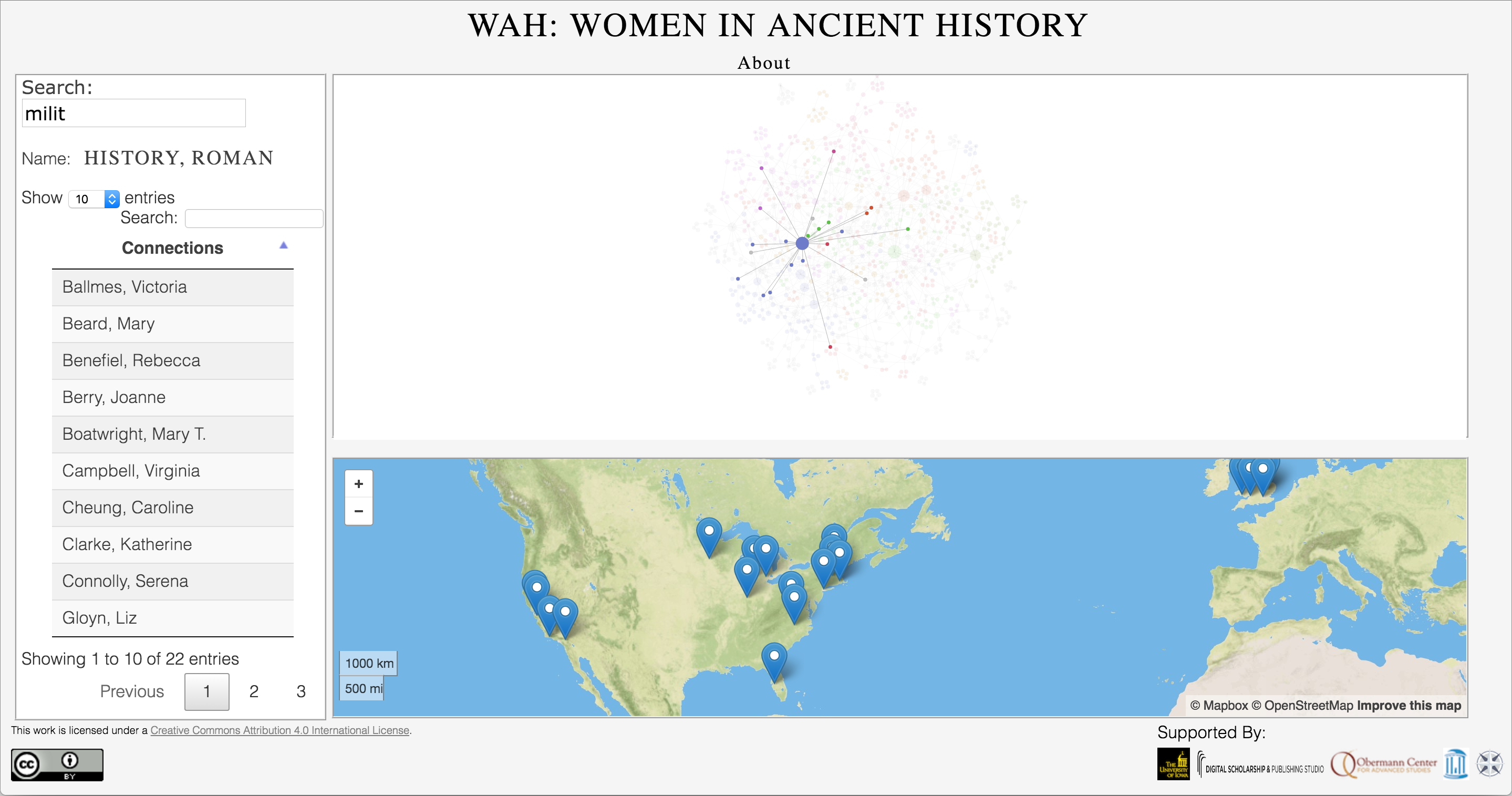
I created the initial functional prototype of WOAH. This project aims to provide accurate information on research interests and knowledge networks of women who study ancient history, in part to counteract the field’s prevalent gender imbalance found in academic conferences and publications. It is built on a crowd-sourced data set, and deployed the BAM software suite to highlight common research interests and the geographical distribution of women at institutes of higher education.

Geographic Information Systems

Map Tiles

Map Tiles

AWMC Map tiles

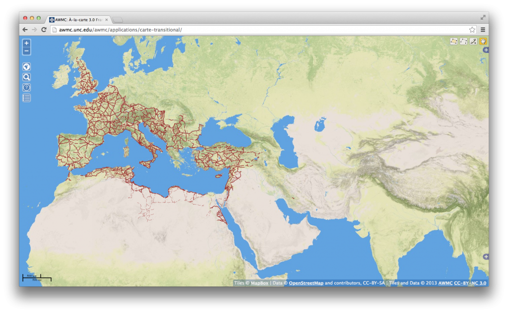
I compiled and created the first (and at the time of this writing, only) geographically accurate base map of the ancient world for the Ancient World Mapping Center. Now hostd by the University of Iowa, the AWMC tiles conform to the broad periodization presented in the Barrington Atlas, with different selectable water levels for the Archaic, Classical, Hellenistic, Roman, and Late Antique Periods. In addition, we also model inland water, rivers, and other geographical features as they appeared in antiquity. The base tiles are culturally agnostic, allowing them to be used to represent the physical environment of nearly any ancient society in the Mediterranean world.

These tiles are used by Pleiades, Harvard’s Digital Atlas of Roman and Medieval Civilizations, Stanford’s ORBIS application, and the Istituto di Studi sul Mediterraneo Antico, and many other projects.

Previous Web Applications

AAC Image

Antiquity À-la-carte application

This is a web-based GIS interface and interactive digital atlas of the ancient world, featuring accurate historical, cultural, and geographical data produced by the AWMC in addition to the entire Pleiades Project feature set. The map is completely searchable with customizable features, allowing for the creation of any map covering Archaic Greece to Late Antiquity and beyond. The application is hosted on a custom installation of Mapserver, and is built with OpenLayers, GeoExt, and MapFish, with a PostGIS backend. For the use of À-la-carte in scholarship, see Kurt A. Raaflaub and John T. Ramsey, Reconstructing the Chronology of Caesar’s Gallic Wars, Histos 11, April 2017.

SNAGG Image

Social Networks and Greek Garrisons

This is a web-mapping application in support of my dissertation that catalogs all known ancient Greek garrisons (phrourai, phrouria, and phrouroi) and their commanders, with a There is a social network graph accompanying the map.

Strabo Online

Strabo Online

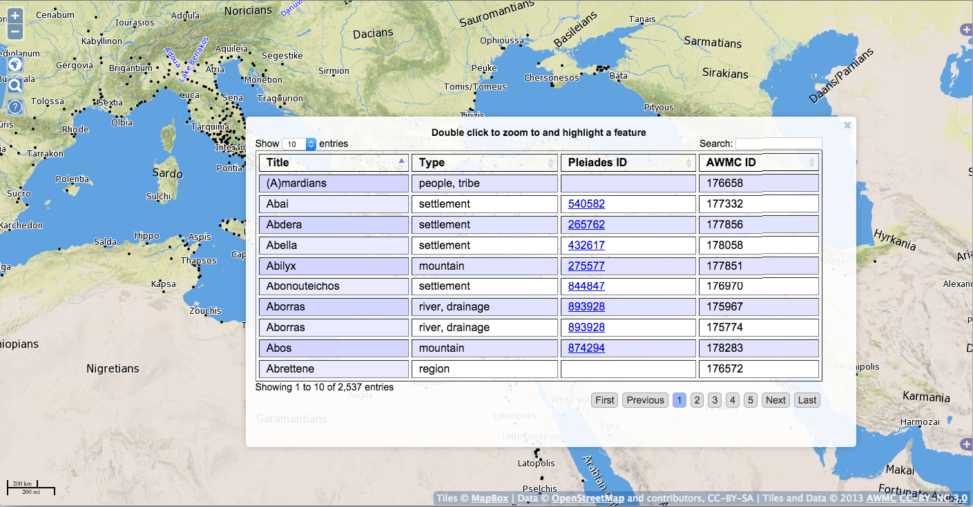
Made to accompany  Duane W. Roller’s English translation of Strabo’s Geography ( ISBN: 9781107038257; e-book ISBN: 9781139950374), this is a seamless, interactive online map which is accessible for free.  The application is built on the Antiquity À-la-carte interface, and plots the more than 3,000 locatable geographical and cultural features mentioned in the 17 books of this Greek source, stretching from Ireland to the Ganges delta and deep into north Africa. Like the Antiquity À-la-carte application, Strabo Online is hosted on a custom installation of Mapserver, and is built with OpenLayersGeoExt, and MapFish, with a PostGIS backend and DataTables to assist with the presentation of the database.

Strabo Online

Peutinger Map A

I finished a codebase originally begun by David O’Brien and Sean Gillies in support of Richard J.A. Talbert, Rome’s World: The Peutinger Map Reconsidered (Cambridge University Press, 2010).This viewer showed the Peutinger Map as a seamless whole, in color, with overlaid layers. The application was built with the Djatkoa JPEG 2000 Image Server and OpenLayers.

AWMC API

The AWMC API

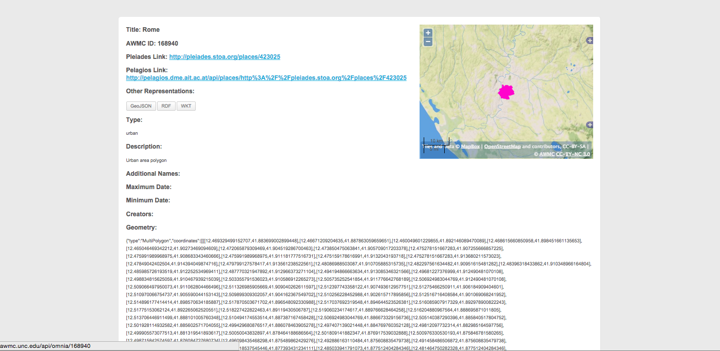
This application allowed access to all of the AWMC’s geographical information, both physical and cultural, using stable URIS. It was built with OpenLayersPostGIS, and DataTables, with styling from WordPress and BuddyPress. It interfaced with the Pelagios Project using linked data principles, specifically through RDF. For a full explanation of how this was accomplished, please see this post.

Hierokles, Synekdemos

Hierokles, Synekdemos

I created a single, interactive web map that follows the text of Hierokles, Synekdemos in Ernest Honigmann’s edition (Brussels, 1939), and aims to supersede his four maps. With the AWMC Map Tiles as its base, the map marks all cities and regions which may identified and located with at least some confidence according to the Barrington Atlas and related publications listed below. Greek names are transliterated as in the Barrington Atlas (see Directory, p. vii). A full database lists all the place-names in the Synekdemos with references (thus including those that cannot be located and marked on the map). In addition, the text of Honigmann’s edition of the Synekdemos (and of the geographic work of George of Cyprus) is accessible via the AWMC’s Dropbox.


Creative Commons License
This work is licensed under a Creative Commons Attribution-ShareAlike 4.0 International License.